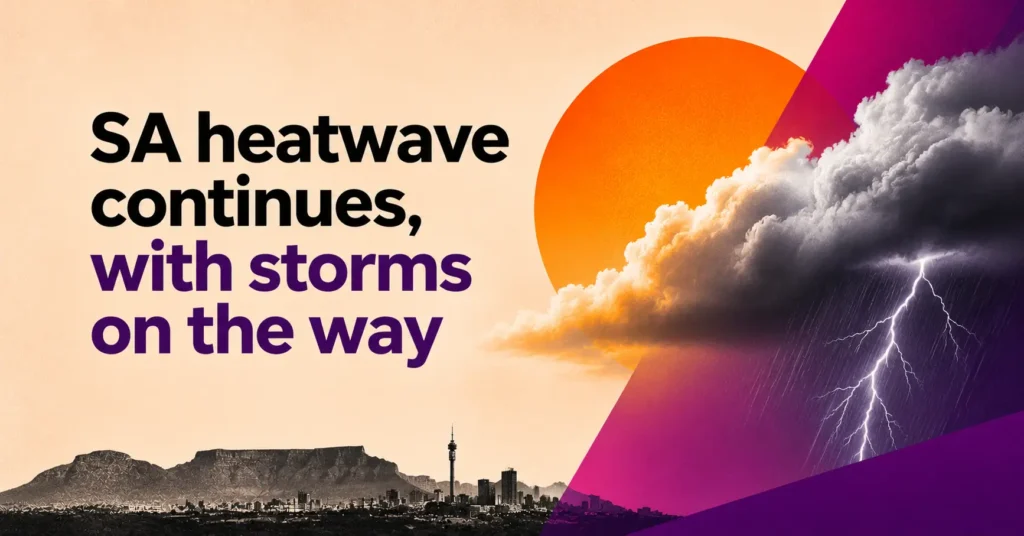

South Africa’s heatwave is expected to continue until Friday, 13 November, but thunderstorms could bring some relief to parts of the country as the weekend approaches.
The South African Weather Service (SAWS) forecasts possible heatwave conditions over eastern North West and the Free State, as well as southern Gauteng, on Thursday and Friday[1].
Meanwhile, isolated to scattered thunderstorms are expected to develop over the eastern interior from Friday into the weekend, according to a government weather update published on Monday[2].
For daily weather updates, click this.
Thursday: Heatwave conditions persist
Thursday, 12 November, is expected to bring another hot day across much of South Africa’s interior.
The heatwave advisory covers North West, most of the Free State and southern Gauteng. Northeastern parts of the Northern Cape are also affected, with persistently high temperatures expected until Friday.
According to Eyewitness News, Johannesburg could reach 32°C on Thursday, while Pretoria is forecast to hit 34°C.
Cape Town, meanwhile, can expect much milder conditions, with a forecast maximum of 22°C.
The SAWS outlook shows mostly fine and warm to hot conditions across the country, although isolated showers are possible in some eastern areas.
Friday: Thunderstorms return
The weather begins to change on Friday, 13 November, with rain and thunderstorms becoming more likely over eastern South Africa.
The SAWS forecast map indicates a 30% chance of showers near Pretoria, while parts of the KwaZulu-Natal coast could see a 60% chance of rain.
However, Friday could still be hot across the central interior, particularly in the Free State and North West, where heatwave conditions may persist.
SAWS forecaster Lehlohonolo Thobela told Jacaranda FM that thunderstorms are expected to develop over Gauteng and Mpumalanga from Friday, extending into southern Limpopo.
Thobela warned that some storms could bring heavy downpours and localised flooding. Damaging winds and hail are also possible.
These are potential risks associated with the developing storms. The severity and affected areas will depend on updated forecasts.
What to expect this weekend
The outlook for Saturday, 14 November, and Sunday, 15 November, points to more unsettled weather across the eastern interior.
According to SAWS information published by SAnews, isolated to scattered thunderstorms are expected to return from Friday and continue into the weekend.
This could bring a break from the recent dry and hot conditions, particularly over Gauteng and neighbouring provinces.
However, the SAWS maps issued on 10 November only cover conditions through Friday. Specific rainfall probabilities and temperatures for Saturday and Sunday will need to be checked against newer forecasts.
Fire danger warnings remain a concern
The heat has also raised concerns about veld fires.
SAWS warned of extremely high fire danger conditions in parts of the Northern Cape and eastern North West on Wednesday. Eastern parts of the Free State were also included in the warning.
The warning areas and validity periods should be checked again as the weather changes.
Meanwhile, Johannesburg Emergency Management Services has urged residents to drink plenty of water and avoid direct sunlight between 11am and 3pm.
People working outdoors have also been advised to take regular breaks to reduce the risk of heat-related illness.
For the latest warnings and weekend forecasts, visit the South African Weather Service.
Sources
[1] South African Weather Service. “Weather Outlook for Thursday, 12 November 2026” and “Weather Outlook for Friday, 13 November 2026.” Forecast maps issued Nov. 10, 2026, at 4 p.m. SAST. SAWS images supplied for this article.
[2] South African Government. “Hot conditions for parts of SA.” SAnews, Nov. 9, 2026.