
The South African Weather Service (SAWS) issued an orange level 6 weather warning for parts of KwaZulu-Natal, signalling a high likelihood of severe flooding, infrastructure damage and danger to life along the province’s coast from Thursday.
While Pretoria baked at 31°C on Wednesday and Cape Town braced for cold and wind, a rapidly worsening weather system was already organising itself over KZN.
The level 6 alert comes into effect on Thursday at 12pm and remains valid until 18 September at 23:59. The severe weather is caused by a ridging high-pressure system and a coastal low-pressure system.
KZN weather warning: 17 Sept
SAWS said that between Thursday and Friday, heavy disruptive rains can be expected to hit areas along the KZN coast, which include eThekwini, KwaDukuza, Mandeni and Ray Nkonyeni.
KZN COGTA MEC Reverend Thulasizwe Buthelezi activated the Disaster Joint Operations Centre (JOC). He calls on communities to take safety measures, “as these rains pose a serious threat to life.”
“All municipalities have been activated to open safe spaces. Our disaster teams will closely monitor the situation in the next two days and we urge communities to comply with any safety measures that may have to be implemented,” Buthelezi added.
This is a batten-down-the-hatches, move-valuables-to-higher-ground situation.
The updated alert represents an escalation from the level 4 disruptive rain warning previously issued by SAWS. The original level 4 alert anticipated a medium likelihood of impacts starting from 00:00 on Thursday through to Friday, 18 September.
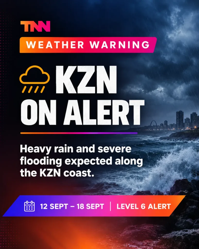
Updated forecasts indicating concentrated rainfall of 50 to 150mm prompted weather forecasters to elevate the severity level to level 6 for core coastal and adjacent interior districts while shifting the start time to 12:00 on Thursday.
According to SAWS, the severe weather is driven by a strong ridging high-pressure system and a low-pressure system along the KZN coast, coupled with a steep upper-air trough and cut-off low over the western interior.
This combination is expected to produce scattered to widespread showers across the province, with concentrated downpours along the south coast and adjacent interior.
What level 6 means on the ground
Expected severe impacts under level 6 include:
- flooding of roads, bridges, and settlements (both formal and informal),
- danger to life from fast-flowing streams and deep waters,
- major disruption of traffic flow caused by flooded roads,
- disruption to essential services including water, electricity, and communication networks,
- and structural damage to mud-based houses.
The eThekwini Municipality confirmed that operational teams, including Fire, Disaster Management and Metro Police Directorates, are fully mobilised. Municipal crews will continuously monitor high-risk zones, waterways, and infrastructure historically vulnerable to flooding.
A split country: 31°C in Pretoria, chaos incoming for the coast
While the level 6 weather warning was being processed along the KZN coast, the rest of South Africa was living in a different weather file entirely. Pretoria hit 31°C on Wednesday as Cape Town turned cold and windy. Spring in South Africa, doing what it always does: running two completely different operating systems at the same time.
SAWS warned that heavy downpours may lead to flooding of roads, low-lying bridges, and residential areas including informal settlements, fast-flowing streams and deep-water hazards that pose a threat to life, localised damage to property, municipal infrastructure, and livestock, and temporary disruption of essential services and access to isolated communities.
If you are in the affected municipalities: do not cross flooded roads, do not test fast-flowing water, and do not assume the warning is overcautious. These things are calibrated on a scale of 1 to 10. Level 6 is not a footnote.